Bestand:Montenegro Map.png

Oorspronkelijk bestand (2.427 × 1.807 pixels, bestandsgrootte: 1,03 MB, MIME-type: image/png)
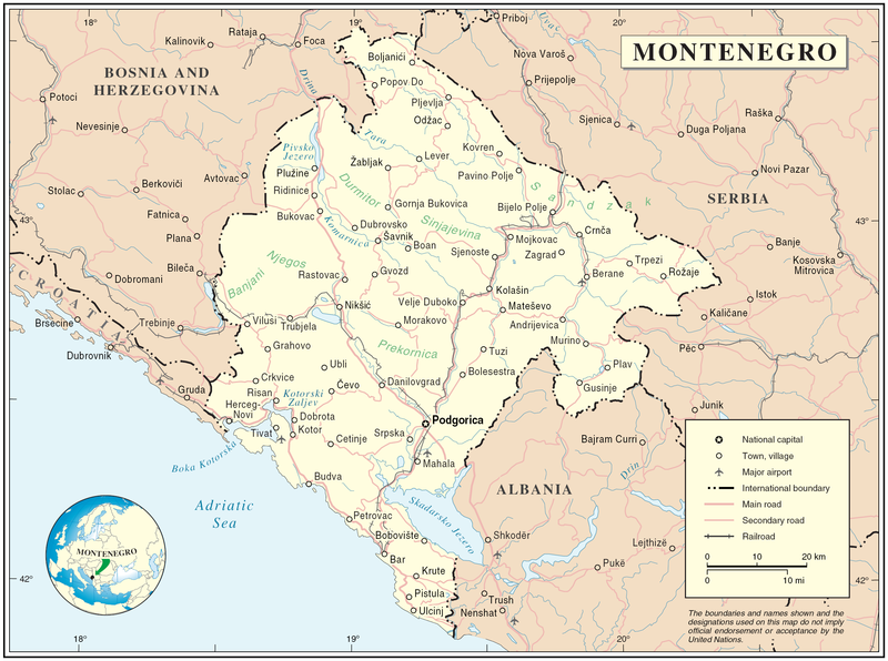
Map of Montenegro
| Beschrijving | Map of Montenegro | |||
| Datum | ||||
| Bron | The Cartographic Section of the United Nations (CSUN) | |||
| Auteur | Cartographer of the United Nations | |||
| Toestemming (Hergebruik van dit bestand) |
|

Bestandsgeschiedenis
Klik op een datum/tijd om het bestand te zien zoals het destijds was.
| Datum/tijd | Miniatuur | Afmetingen | Gebruiker | Opmerking | |
|---|---|---|---|---|---|
| huidige versie | 10 mrt 2007 19:03 | | 2.427 × 1.807 (1,03 MB) | wikimediacommons>Minestrone | Map of Montenegro {{Information |Description=Map of Montenegro |Source=The Cartographic Section of the United Nations (CSUN) |Date=2007-03-10 |Author=Cartographer of the United Nations |Permission={{Template:UN map}} and the cartographer of the UN [ |
Bestandsgebruik
Dit bestand wordt op de volgende pagina gebruikt:
